Lichau Creek
Latitude: 38° 16' 27" North Longitude: 122° 40' 39" West
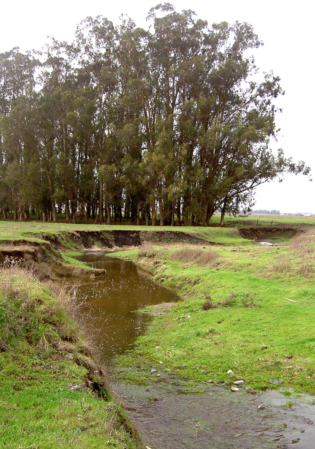
This 8.9-mile-long creek is southwest-flowing out of the Sonoma Mountains between Copeland and Lynch Creeks and through the town of Penngrove. Lichau Creek runs through large agricultural properties where the wide floodplain has no infrastructure and is used primarily for grazing. After an initial descent to the west, it crosses under Sonoma Mountain Road and passes north of Stony Butte. It then crosses East Railroad Avenue and Petaluma Hill Road and flows under the Northwestern Pacific Railroad tracks. It then travels south and parallels the train tracks through Penngrove, crossing Adobe Road and Main Street. North of Petaluma, it crosses Ely Road and turns southwestward, crossing Old Redwood Highway and North McDowell Boulevard Extension, and Stony Point Road to reach the Petaluma River. The overall vegetation of the drainage is grass. The vegetative cover in the headwater is oak and bay trees. The soil is primarily clay.
A 1968 survey of Lichau Creek found algae, duckweed, cattails, dragonflies, dipterous insects, caddisflies, frogs, amphibian and reptile species including California red-legged frog, foothill yellow-legged frog, western pond turtle, and steelhead trout living in the creek.
The original name of the creek was O’Hara Creek, named after settler John O’Hara, who originally purchased the land the creek flows through.
Map courtesy of Sonoma Ecology Center
